We invest in the industry's best scanning hardware and software so your data is always precise, reliable, and workflow-ready.
Our scanners achieve millimeter-level accuracy—critical for as-built documentation, BIM coordination, and construction verification.
Modern scanners and mobile mapping systems reduce time on site, minimizing disruption to occupants and active construction.
We use multiple scanner types to ensure complete coverage regardless of building complexity, geometry, or lighting conditions.
We invest in the best scanning technology so you don't have to. Our equipment lineup delivers survey-grade accuracy on every project.
Key performance metrics for our primary scanning platforms.
| Scanner | Range | Accuracy | Best Use |
|---|---|---|---|
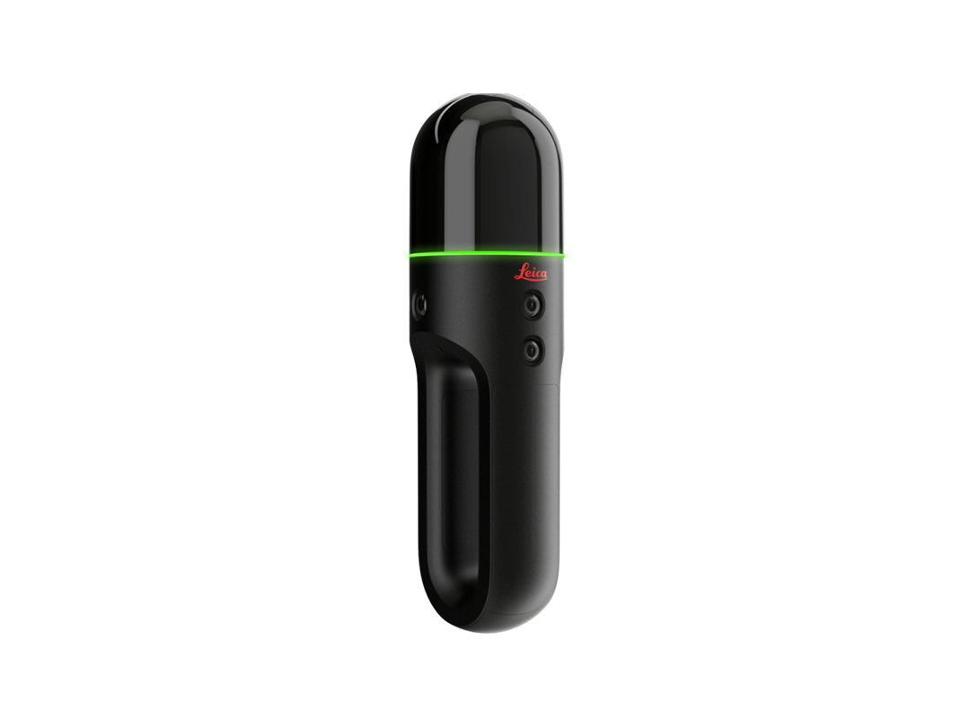
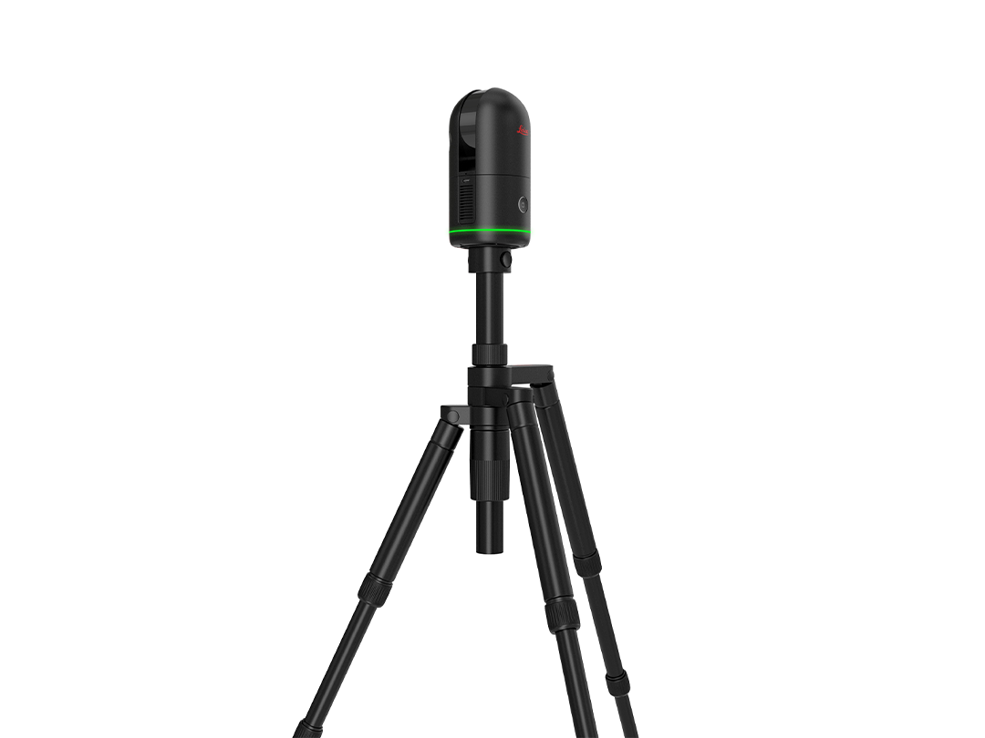
| Leica BLK360 | Up to 60m | ±4mm | Interior spaces, compact sites |
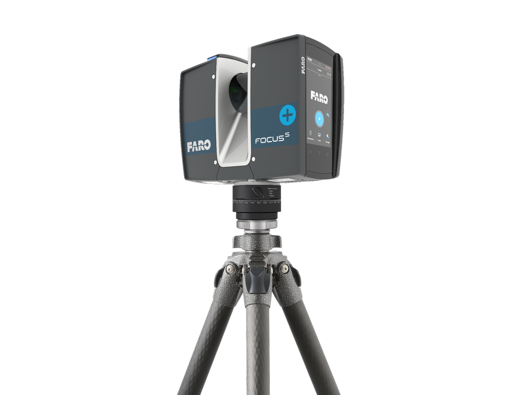
| FARO Focus | Up to 330m | ±2mm | Large interiors, industrial, exterior facades |
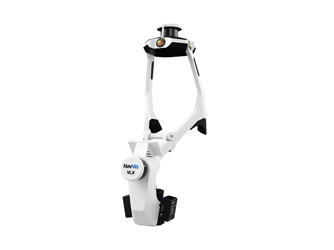
| NavVis VLX 3 | Up to 100m | ±5mm | Large floor plates, warehouses, rapid coverage |
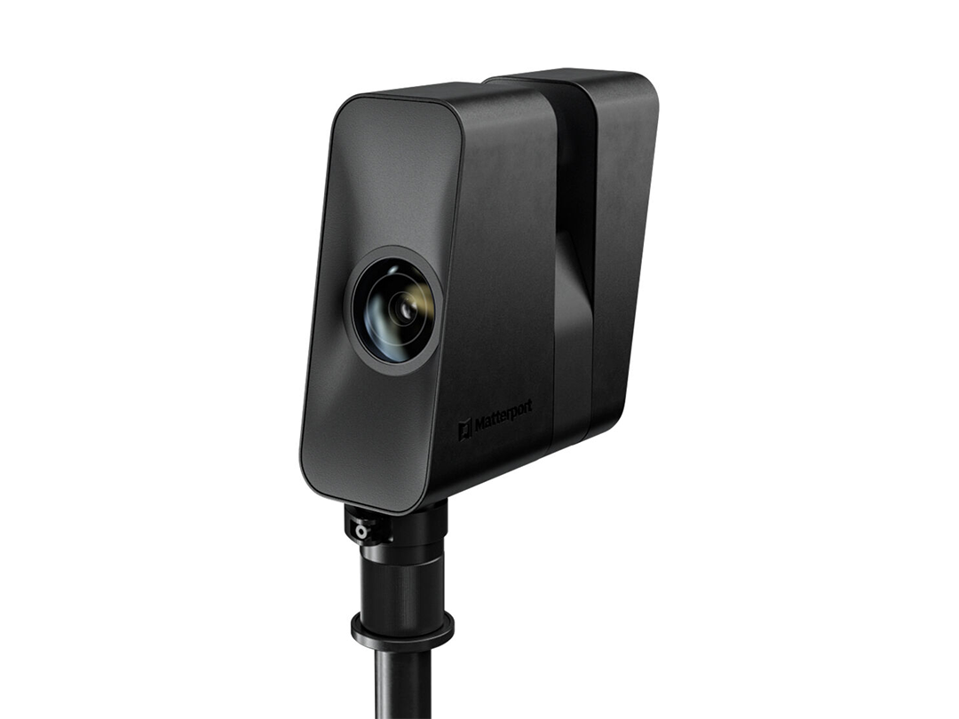
| Matterport Pro3 | Up to 100m | ±20mm | Digital twins, 3D walkthroughs, marketing |
We're happy to walk you through which scanner is right for your project type.
Talk to Us