Innovation & Precision
We deploy a sophisticated ecosystem of hardware and software designed to capture reality with surgical precision—from high-speed mobile mapping to survey-grade terrestrial scanning.
Our sensors achieve millimeter-level precision—critical for as-built documentation and BIM coordination.
Modern mobile mapping systems reduce time on site, minimizing disruption to occupants and active construction.
We utilize multiple scanner types to ensure 100% coverage regardless of geometry or lighting conditions.
We invest in best-in-class scanning technology so you don't have to.
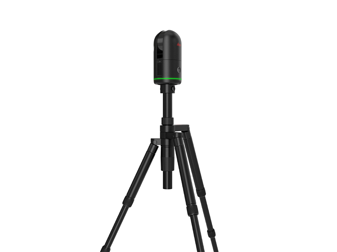
Compact imaging laser scanner for rapid 3D capture with HDR imagery.
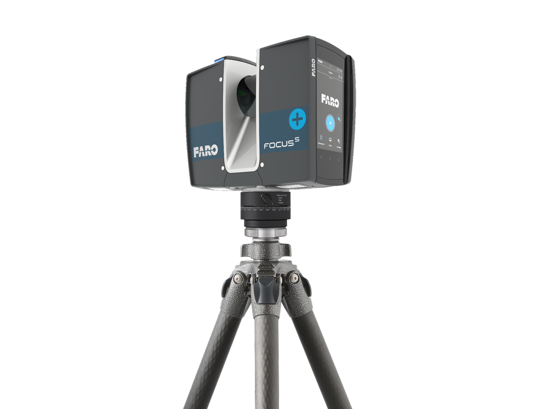
Terrestrial scanner for extremely detailed precision scanning of facades.
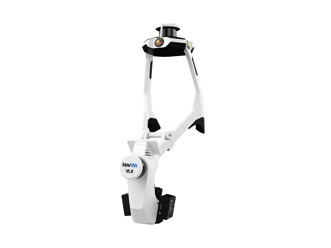
Wearable mobile mapping for rapid capture of massive floor plates.
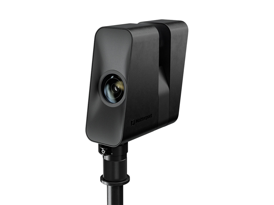
Advanced 3D camera for immersive digital twin and marketing walkthroughs.
Key metrics for our primary reality capture platforms.
| Platform | Scan Range | Accuracy | Deployment |
|---|---|---|---|
| Leica BLK360 | Up to 60m | ±4mm | Interior, MEP rooms |
| FARO Focus | Up to 330m | ±2mm | Industrial, Facades |
| NavVis VLX 3 | Up to 100m | ±5mm | Warehouses, Logistics |
| Matterport Pro3 | Up to 100m | ±20mm | Marketing, Twins |
We can help determine which technology is best suited for your specific project constraints.
Consult an Expert